Mapping Israel, Mapping Palestine: How Occupied Landscapes Shape Scientific Knowledge
by Jess Bier Author
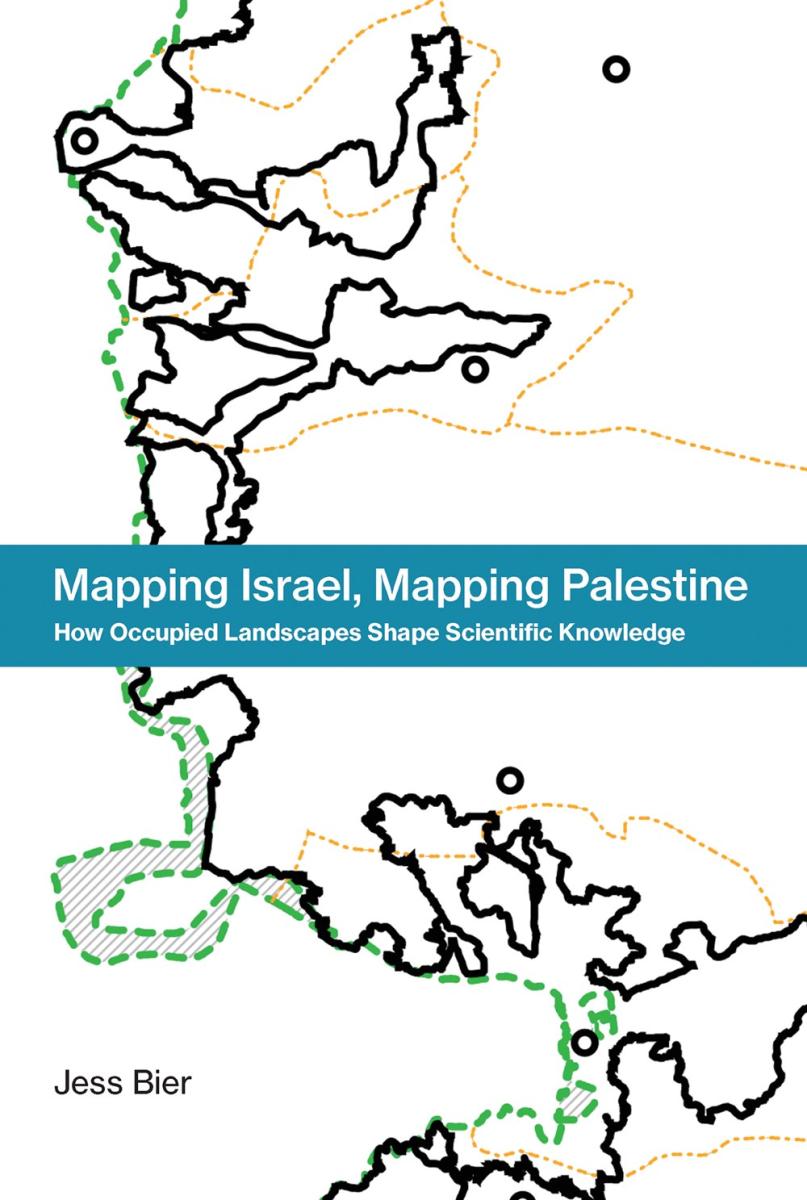
Author Jess Bier challenges the notion that digital maps are universal and value-free in this book. She examines how social and political landscapes shape the practice of science and technology through map-making in Palestine and Israel. Bier argues that knowledge about the Israeli military occupation influences cartographers’ perceptions of the landscape. Ongoing injustices, such as checkpoints and roadblocks, create different experiences for Palestinian and Israeli cartographers. Palestinian empirical knowledge, including maps, is often discounted.
She analyzes three representative cases: Israeli population maps from 1967 to 1995, Palestinian state maps from the late 1990s and early 2000s, and urban maps after the Second Intifada. These maps reveal how segregated observers produce different representations of the same area.
(This book may contain a sharpie mark on the top or bottom edge and may show mild signs of shelfwear.)
You must log in to comment.
